Research Tools > Geographical Annotations to Travel Reports
website of Jelle Verheij, historian
home | publications | my photos | historical pictures | travel snap shots | monuments | 19th century sources | research tools | links | contact
Full text with geographical annotations
J.G. Taylor is not a well-known traveller. He was British "Consul for Kurdistan" (see note*) in the 1860s, alternately based in Erzurum and Diyarbakır. He made extensive travels in his consular area, which included large parts of the current Eastern Turkish provinces. It seems that only three of his travel reports were published, all of them in the Journal of the Royal Geographical Society in London.
Taylor was a true discoverer. He rarely travelled over main routes, but preferred strange sideways. His interests seem unbounded, varying from antiquities, history, religion, ethnography, geography, politics, and geology to botany. His observations are moreover an important source for the local history of the period. Like many official British travellers before and after him he was also actively engaged in mapping the areas he visited, taking coordinates and correcting errors on previous maps.
Despite Taylor's detailed route map (not reproduced here), it is quite difficult to trace his routes on modern maps. In 1959-1963 the Turkish government replaced all "non-Turkish" names with new invented Turkish names, thus largely obliterating the pre WOI traditional toponymy. Moreover Taylor's peculiar way of spelling names is sometimes obscuring. An effort has been made to find the modern Turkish names of the villages and towns mentioned by Taylor, together with the current district and province they belong to. Unfortunately this was not always succesful.
Clicking on the province names mentioned will bring you to the corresponding page of the place name index.
Actually, this travel report of Taylor is a compilation of a number of different journeys to various parts of the Kurdistan/Diyarbekir vilayet. The various sections are listed below. More than his other travel reports it focuses on archaeology, describing a number of sites that seem to have been completely forgotten and/or disappeared. It also contains a curious section on the - then still "undiscovered" by westerners - district of Sasun**, probably based on hearsay.
notes
*"Kurdistan" was the official Ottoman name for the province of Diyarbekir in Taylor's time. The British continued to use this name for their consular district until the mid 1890s, although the Ottomans by that time had already dropped it.
** currently a district of Batman province, in Taylor's time a larger area, also including parts of the current provinces of Diyarbakır, Muş, and Bitlis.
Sections
- Area SE of Diyarbakır, to (unidentified) site of "Kurkh" (pp. 22-23)
- (In Oct. 1861) Diyarbakır - Silvan - Siirt - Rıdvan - Hasankeyf - Midyat - Mardin ( - Diyarbakır) (pp. 23-36) →
- (1862-1863) Diyarbakır - Eğil - Hani - Hazro - Genç - Muş - Bitlis - Kozluk - Rıdvan - Siirt - Pervari - Eruh - Cizre - Nusaybin - Midyat (- Diyarbakır) (pp. 36-57) →

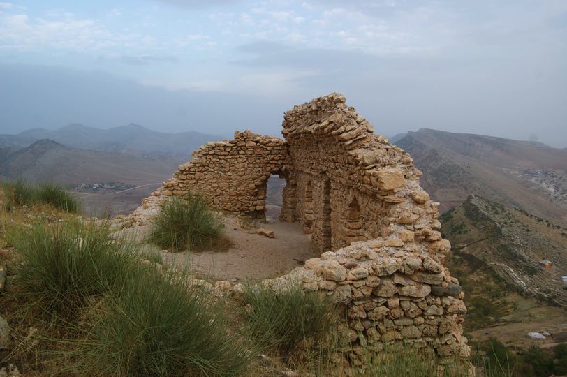
Tercil Castle, Taylor p. 40