home | publications | my photos | historical pictures | travel snap shots | monuments | 19th century sources | research tools | links | contact
Place descriptions and routes in the provinces of Adana, Erzurum, Haleb, Mamuretülaziz, Diyarbekir and Bitlis around 1900
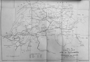
source: Lieut.-Colonel F.R. Maunsell, Military Report on Eastern Turkey in Asia. Vol.IV - Middle Euphrates Valley. Country from the Gulf of Alexandretta towards Erzerum and Bitlis. Compiled for the Intelligence Department, War office. 1904
Click on the map to enlarge.
Red coloured place names: Click to see the original place description by Maunsell
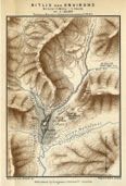
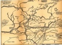
Bitlis
Map of Bitlis and environs
source: H.F.B. Lynch. Armenia. Travels and Studies (London, 1901) vol.2
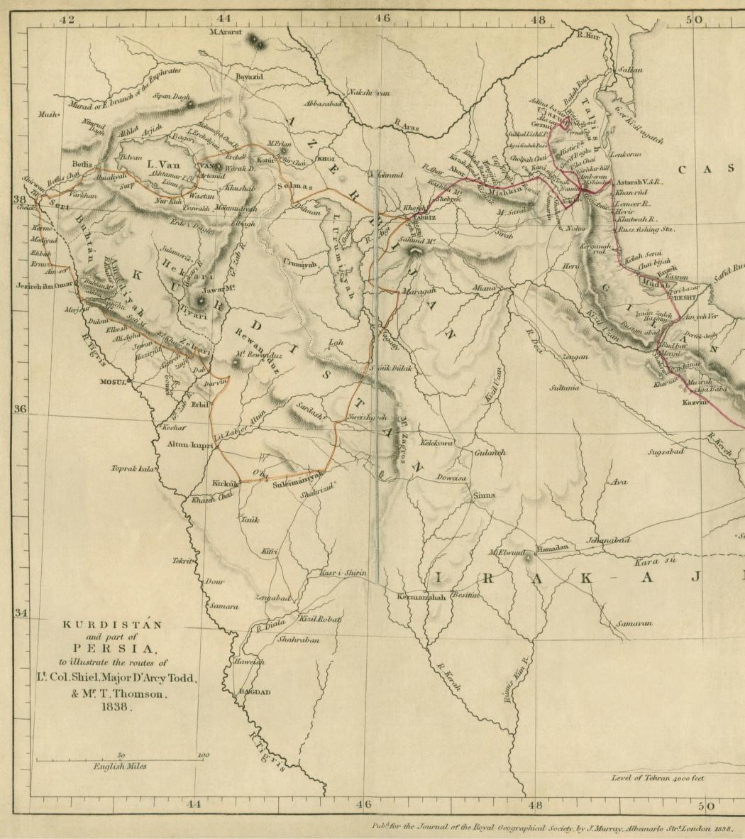
Some 19th century maps, from travel reports and archival sources
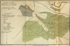
Van
Plan of Van based upon a plan published by M.P. Müller-Simonis
source: H.F.B. Lynch. Armenia. Travels and Studies (London, 1901) vol.2
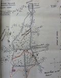
Van during the 1896 Armenian-Ottoman conflict
Sketch map of Van showing neighborhoods, foreign consulates and “principal houses held and fortified” by Armenian revolutionaries during the revolt in the Summer of 1896.
Drawn by British Vice-Consul in Van at the time, Major Williams (archival document, UK National Archives)
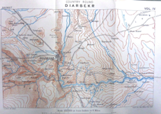
Diyarbekir and vicinity
Pre 1914 British military map (UK National Archives, London) of Diyarbakır and surroundings.
Source: Lieut.-Colonel F.R. Maunsell, Military Report on Eastern Turkey in Asia. Vol.IV - War office. 1904